The Solutions Explorer lets you create alerts that match your needs. You can create several alerts and you will receive a notification each time a new Solar Impulse Efficient Solutions is labelled and matches your filters.
Your Search Alerts will show up here.
Sign in to create alerts for your filters and search terms.
Sign inDon't have an account?
Sign upAccess exclusive opportunities for Investor Members Only
The Investment Hub is a platform by the Solar Impulse Foundation that connects innovators with investors to fund scalable and sustainable solutions. Through tailored matchmaking, e-pitches, and a collaborative digital environment, it helps drive impactful innovation forward.
Sign in to explore a world of dynamic and high-potential investment opportunities.
Sign inDon't have an account?
Sign upJanuary 1, 2019
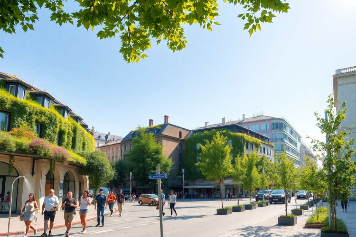
City of Vienna
Vienna
The municipality of Vienna ordered an Urban Heat Vulnerability Map to understand the impact and vulnerability of the city to extreme heat, after having endured several heat waves. Based on the study results, the city launched a pilot project in 2019 named “Cool Streets” to target heat vulnerability points that included several practical actions to undertake to tackle the urban heat island effect in the city.
The Urban Heat Vulnerability Map is processing 3 times more data sets and is delivered 4 times quicker than the traditional approach, empowering cities to identify the most vulnerable areas to extreme heat events and therefore maximise the impact of the implementation of heat mitigation strategies.
Share
The information set out above, is solely for the purposes of information and the Solar Impulse Foundation does not provide any guarantee as to its authenticity, completeness or accuracy. This information does not constitute investment advice or a recommendation to buy into, transact or to enter into any agreement with any of the parties or persons mentioned above. Potential investors or interested parties are solely responsible for their investment or business decisions and for performing any due diligence required by the circumstances. The innovator has asserted ownership of the intellectual property rights for images, videos, and content showcased above, affirming full and unrestricted usage rights, and has provided explicit permission for the Solar Impulse Foundation to publish such information designated as "public" in the application form.